Drove from Bicknell UT (Capitol Reef NP) to Grand Staircase/Escalante National Monument today along UT Scenic Byway 12, which is said to be among the most beautiful drives in the US. No argument here. It was a gorgeous fall day—blue skies, yellow aspens, red Gamble oaks, and vistas that are just jaw dropping. The route passes over Boulder Mountain (11,000 ft) at 9600 ft, through Dixie National Forest, past the agricultural settlement of Boulder (the last incorporated town in the US to have its mail delivered by mule team) and into Grand Staircase/Escalante past stunning landscapes following the Escalante River (which eventually empties into the Colorado). The drive could be a park unto itself. If you see a sign that says “Scenic Overlook,” pull over. And if your sense of awe and reverence doesn’t manifest itself here, it may never.
In Escalante, we decided to take the Hole in the Rock road to two hikes that we wanted to try: Devil’s Garden, which features some impressive hoodoo formations that you can wander around and through, and the Dry Fork Narrows, which leads to a loop trail through two very narrow (18”) slot canyons. We had no illusions that we would make it through the slot canyons, but we wanted to find the start of them. The Dry Fork Narrows canyon proved challenging (and narrow) enough after a mile and a half of hiking, scrambling, and squeezing to satisfy our curiosity.
Having a couple of daylight hours left after abandoning the Narrows, we decided to check out Escalante Petrified Forest State Park just outside the town of Escalante, not expecting much other than a few hiking opportunities. Wrong. It’s another of those hidden gems—a steep (“moderate to strenuous”) trail that leads up a small butte along which are scattered hundreds of tons of the most beautiful petrified wood I have even seen. Really glad we went.
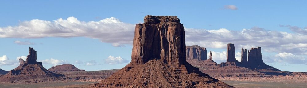
So, here are some images.


And finally, a couple of images of petrified wood from Escalante Petrified Forest State Park:


